Standing Stones / Menhirs
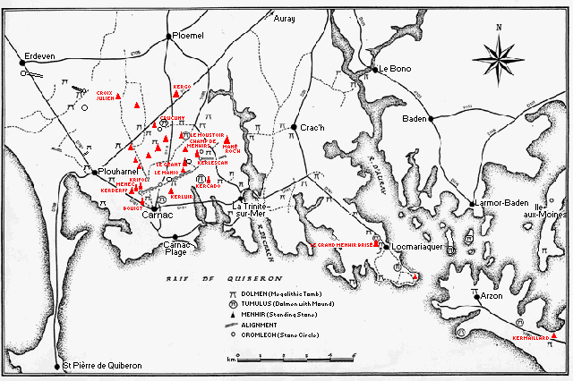
Single standing stones or menhirs are widely scattered over the district. Many are associated with graves, for example the menhir on the summit of the Kercado tumulus. Others are thought to be parts of sightings for determining the extreme positions of the sun and moon, for example Le Géant and Le Grand Menhir Brisé.
The following map shows the location of the major menhirs or single standing stones in the Carnac/Gulf of Morbihan area. There are many more standing stones than shown here.
Le Grand Menhir Brisé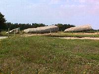 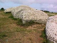 |
Beside La Table de Marchand and Er Grah tumuli
at Locmariaquer Broken in 4 pieces: "whole" length 20 meters, weight 350 tons Not local rock; thought to come from Quiberon peninsula Stone smoothed, axe-plough carved on second from bottom piece Opinion is divided on whether the menhir was broken by lightning or an earthquake or whether it was deliberately broken Thought by Thom (see map on Introduction page) to be central sighting for lunar observatory Also called Er Grah like the tumulus beside it. |
Le Géant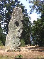 |
200 meters north of east end of Kermario alignments
northeast of Carnac 6 meters high, tallest still standing menhir in the district Thought by Thom to be a central sighting of a solar observatory |
Le Moustoir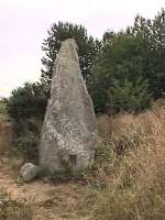 Menhir to west 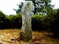 Menhir
on top Menhir
on top |
About 3 km north of Carnac One menhir on summit of tumulus and one at west side The menhir to the west is 3.3 metres tall; the one on top is over 2 metres About 2 meters tall |
Le Champ de Menhirs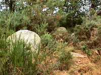 |
Between Le Géant and Le Moustoir Several scattered menhirs about 1 metre tall in woods on line between Le Grand Menhir in Locmariaquer and Le Moustoir Some books mention remains of a dolmen with capstone missing Difficult to find - we didn't find the site in 1998 Found the menhirs in 2002, but didn't see anything that looked like a dolmen - very overgrown . |
| Le Manio | Near eastern end of Kermario alignments Larger menhir than surrounding stones of alignments Associated with grave Serpentine engravings at foot of stone, below ground level |
Kercado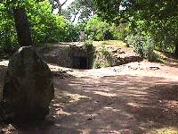 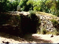 |
2 km northeast of Carnac On summit of tumulus (Stone in foreground is one of the stones in the circle around the tumulus.) |
Kerluir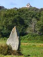
|
500 metres south of Kermario dolmen and
west end of alignments West of Kerluir dolmen Behind can be seen St. Michel tumulus with the chapel on top |
Crucuny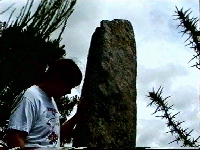 Menhir
on tumulus Menhir
on tumulus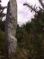
|
2.5 km north of Le Menec village Menhir on top of tumulus is over 2 metres tall 2 menhirs south of village of Crucuny, one west of village near cromlech |
Le Ménec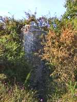 |
Over 2-metre high menhir west of west
end of Le Ménec alignments About halfway between Le Ménec and the Kerderff menhirs |
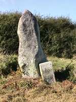
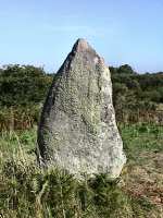
Krifol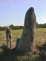
|
Northwest of the west end of Le Ménec
alignments 2.9 metres tall The photos show 3 sides of the same stone. Trying to identify stones from pictures in books is very difficult because the same stone looks so different from different sides. Luckily this one had a name plaque. Top photo - looking towards Le Ménec alignments |
Kerderff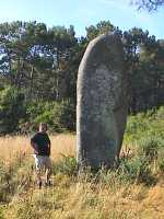
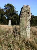
|
North of Kerderff, northwest of Le Ménec 2 tall menhirs in a field of thistles The tallest menhir is 5.4 metres |
Croix Julien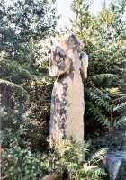
|
7 km north of Carnac, just south of Le
Hahon village Looks like same stone used for menhirs A "Christianized" menhir?? |
| Quiberon Peninsula | Several at southwest end of peninsula One in town of Quiberon at southeast end of peninsula (lunar sighting with Le Grand Menhir) |
| Kermaillard | Presqu1ile de Rhuys, NE of Le Net village 5-metre high menhir Engraved |
All photographs were taken by myself, during trips to the megaliths of Carnac in 1980, 1983, 1994, 1998, and 2002. All photographs are my property and may not be copied or used without my written permission.
Table of Contents
Types of Megaliths
of Carnac
September 1, 2003
©copyright 1999, 2003 Vicki Sherwood
E-mail: vsherwood@simon-kucher.com
This page is hypertext https://menhirs.tripod.com/menhir.html/